File:Subcarpathia Carpatho-Ukraine.svg
From WikiMANNia Commons

Size of this PNG preview of this SVG file: 795 × 600 pixels. Other resolution: 318 × 240 pixels.
Original file (SVG file, nominally 1,326 × 1,000 pixels, file size: 73 KB)
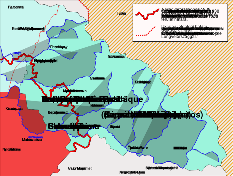
Deutsch: Karte der Unterkarpaten-Rus (1919-1938), die eine autonome Region der ersten Tschechoslowakischen Republik[wp] war; später umgewandelt in die Karpaten-Ukraine (1938-1939), die eine autonome Region der zweiten Tschechoslowakischen Republik[wp] war und im März 1939 kurzzeitig ein selbsternannter unabhängiger Staat. Eigene Arbeit auf der Grundlage verschiedener gedruckter und digitaler Karten.
Karte von Karpatoruthenien, Situation von 1920 (Vertrag von Trianon) bis 1939 (Annexion durch Ungarn)
Karte von Karpatoruthenien, Situation von 1920 (Vertrag von Trianon) bis 1939 (Annexion durch Ungarn)
English: Map of the Subcarpathian Rus (1919-1938)[wp], that was an autonomous region of the first Czechoslovak Republic[wp]; later transformed into the Carpathian Ukraine (1938-1939)[wp], that was an autonomous region of the second Czechoslovak Republic[wp], and briefly a self-proclaimed independent state, in March 1939. Own work based on different printed and digital maps.
Map of Carpatoruthenia, situation from 1920 (Treaty of Trianon) to 1939 (Annexation by Hungary)
Map of Carpatoruthenia, situation from 1920 (Treaty of Trianon) to 1939 (Annexation by Hungary)
- License
- Public domain
- URL
- https://commons.wikimedia.org/wiki/File:Subcarpathia_Carpatho-Ukraine.svg
- https://commons.wikimedia.org/wiki/File:Subcarpathia_Carpatho-Ukraine_german.svg
- https://commons.wikimedia.org/wiki/File:Subcarpathia_Carpatho-Ukraine-es.svg
- https://commons.wikimedia.org/wiki/File:Subcarpathia_Carpatho-Ukraine-hu.svg
- https://commons.wikimedia.org/wiki/File:Subcarpathia_Carpatho-Ukraine_uk.svg
- https://commons.wikimedia.org/wiki/File:Подкарпатская_Русь_(1939).svg
File history
Click on a date/time to view the file as it appeared at that time.
| Date/Time | Thumbnail | Dimensions | User | Comment | |
|---|---|---|---|---|---|
| current | 01:04, 14 November 2024 |  | 1,326 × 1,000 (73 KB) | Admin (Germany) (talk | contribs) | |
| 06:10, 1 November 2024 | Error creating thumbnail:
libgomp: Thread creation failed: Resource temporarily unavailable
| 688 × 525 (80 KB) | Admin (Germany) (talk | contribs) | https://commons.wikimedia.org/wiki/File:Subcarpathia_Carpatho-Ukraine.svg https://commons.wikimedia.org/wiki/File:Subcarpathia_Carpatho-Ukraine_german.svg https://commons.wikimedia.org/wiki/File:Subcarpathia_Carpatho-Ukraine-es.svg https://commons.wikimedia.org/wiki/File:Subcarpathia_Carpatho-Ukraine-hu.svg https://commons.wikimedia.org/wiki/File:Subcarpathia_Carpatho-Ukraine_uk.svg https://commons.wikimedia.org/wiki/File:Подкарпатская Русь_(1939).svg |
You cannot overwrite this file.
File usage
The following file is a duplicate of this file (more details):
- File:Subcarpathia - Carpatho-Ukraine.svg from Wikimedia Commons
There are no pages that use this file.
