Category:Map (SVG)
From WikiMANNia Commons
Media in category "Map (SVG)"
The following 38 files are in this category, out of 38 total.
 1984 - Fictitious world map.svg 2,212 × 1,123; 5 KB
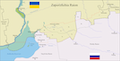
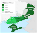 Annexation referendums in Russian-occupied Ukraine.svg 794 × 710; 223 KB
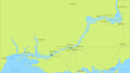 Binational Zone - Dnieper Waterway.svg 3,750 × 2,080; 102 KB
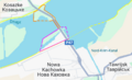
 Binational zone - Dnipro - Kakhovka Reservoir.png 2,328 × 1,410; 2.96 MB
 Binational zone - Energodar.svg 1,900 × 1,120; 30 KB
 Binational zone - Enerhodar.png 2,208 × 1,184; 353 KB
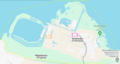
 Binational zone - Nova Kakhovka.png 952 × 576; 140 KB
 Binational zone - Nova Kakhovka.svg 1,900 × 1,124; 22 KB
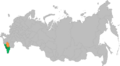
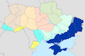
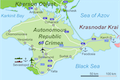 Crimea map.svg 665 × 441; 112 KB
 Danube 1940-1948.svg 2,748 × 1,238; 15 KB
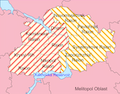
 Demarcation of the Kupiansk, Izium, Svatove and Kramatorsk raions (2020).svg 3,288 × 5,168; 125 KB
 Demarcation of the Kupiansk, Izium, Svatove and Kramatorsk raions (2025).svg 3,288 × 5,168; 125 KB
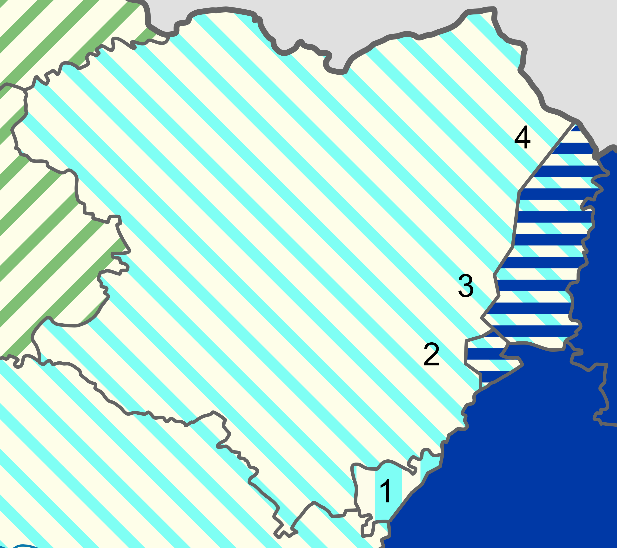
 Demarcation of the Zaporizhzhya, Vasylivka and Polohy raions - Option A.svg 4,280 × 2,188; 100 KB
 Demarcation of the Zaporizhzhya, Vasylivka and Polohy raions - Option B.svg 4,280 × 2,188; 100 KB
 Demarcation of the Zaporizhzhya, Vasylivka and Polohy raions - Option C.svg 4,280 × 2,188; 100 KB
 Demarcation of the Zaporizhzhya, Vasylivka and Polohy raions - Option D.svg 4,280 × 2,188; 113 KB
 Demarcation of the Zaporizhzhya, Vasylivka and Polohy raions - Option E.svg 4,280 × 2,188; 110 KB
 Demarcation of the Zaporizhzhya, Vasylivka and Polohy raions - Thalweg.svg 4,280 × 2,188; 93 KB
 Demarcation of the Zaporizhzhya, Vasylivka and Polohy raions.svg 4,280 × 2,188; 99 KB
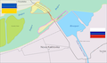
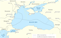 Exclusive Economic Zones in the Black Sea.svg 532 × 330; 144 KB
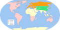
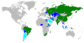 Map of BRICS countries.svg 2,192 × 1,135; 1.42 MB
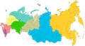
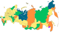 Map of federal subjects of Russia (2022).svg 512 × 282; 768 KB
 Map of North Caucasian Federal District (2022).svg 512 × 282; 768 KB
 Map of Russian districts (2022).svg 512 × 282; 767 KB
 Map of Southern Federal District (2022).svg 512 × 282; 768 KB
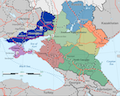 Map of Southern Russia.svg 1,092 × 872; 224 KB
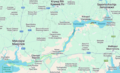
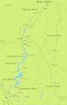
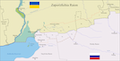
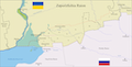
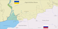
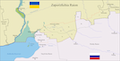
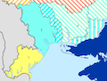
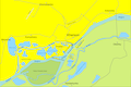 Map of the area around Kherson.svg 1,900 × 1,268; 41 KB
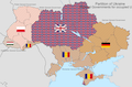 Partition of Ukraine.svg 1,510 × 1,000; 8 KB
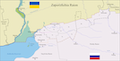
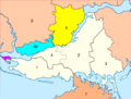
 Reorganisation of Odesa and Mykolaiv oblast.svg 500 × 380; 297 KB
 Reorganisation of the Dnipropetrovsk and Zaporizhzhia Oblast.svg 533 × 417; 87 KB
 Reorganisation of the Kherson Oblast 2022.svg 533 × 403; 296 KB
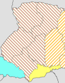 Reorganisation of the Ukraine - Autonomous Region of Galicia.svg 420 × 530; 512 bytes
 Reorganisation of the Ukraine - Territorial changes in the Kharkiv oblast.svg 270 × 240; 914 bytes
 Reorganisation of the Ukraine 2022.svg 1,510 × 1,000; 299 KB
 Rotterdam-Constanta waterway.svg 512 × 217; 56 KB
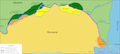
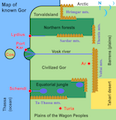 Simplified Map of Gor.svg 580 × 600; 35 KB
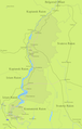
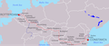
 Subcarpathia Carpatho-Ukraine.svg 1,326 × 1,000; 73 KB
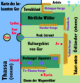 Vereinfachte Karte von Gor.svg 580 × 600; 125 KB


.svg)
.svg)


.svg)
.svg)
.svg)
.svg)


